Mid-Week Ramble: White Edge
Overview
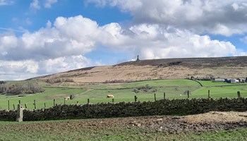
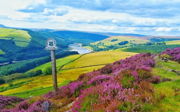
A walk with panoramic vistas stretching out into the distance virtually the whole way round because we start high and remain high on the good tracks and paths hereabouts. The first half has a moorland feel under the watchful gaze of the Kinder Plateau on our right and views into South Yorkshire on our left. The second half traverses the elevated path overlooking the Derwent valley giving fantastic views over the heart of the Peak District. In concept, it’s a bit like a Grand Canyon walk, only you don’t descend into it and it’s on a slightly smaller scale! You will need walking boots and please bring sandwiches to keep you going on the way round.
Facilities: Public toilets 2 miles from meeting place in car park of the Fox House Inn (postcode S11 7TY for SatNav).
Location & Itinerary
Grade 4: 7 1/2 Miles - please refer to the Ramble Grading page HERE which also gives you a list of recommended items to bring with you.
From Mcr head out towards Buxton on A6 and after end of Chapel bypass turn left onto A623 towards Chesterfield. Follow this through Sparrowpit, Peak Forest and Stoney Middleton. About a mile after Stoney Middleton there are traffic lights; turn left here (just before to cut the corner), signposted Froggat A625. Almost immediately take next right signposted Froggat, Sheffield A625. Drive up through woodland for 2.3 miles and the Pay and Display National Trust car park where we meet is on your left just after a sharp left turn. Parking is £4 all day, free for National Trust members, and if you arrive early enough there is a free layby 0.1 mile further along the road from the car park.
PLEASE NOTE: no nearby postcode for SatNav but S32 3ZJ is en route half a mile before the meeting place.
Facilities: Public toilets 2 miles from meeting place in car park of the Fox House Inn (postcode S11 7TY for SatNav).
Host & Everything Else
Gallery