Walk: Oughtibridge and Grenoside
Overview
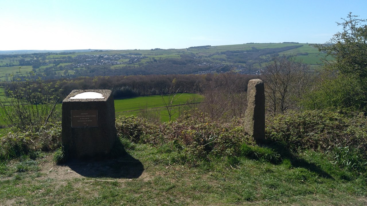
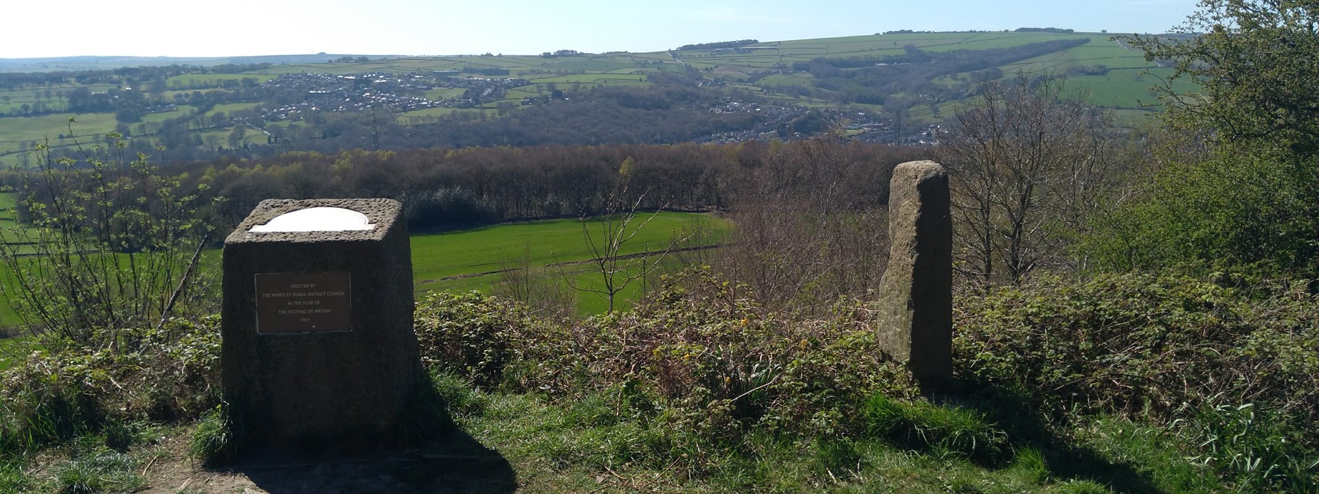
We start our walk by following the river downstream along the Upper Don Trail. We then head up through Beeley Wood and then across open fields towards Birley Edge. We then turn towards Whalejaw Hill and will stop at the Birley Stone with wide views. Crossing the road identified during the Tour de France as Côte de Oughtibridge, we are soon back in woodland and we will follow the Barnsley Boundary Walk down to Oughtibridge.
If luck is on our side, we may be able to socialise at one of Oughtibridge's pubs afterwards.
Distance: around 4¾ miles, but with around 220m of ascent.
Do not attend if you have virus symptoms.
We must all observe the social distancing regulations. Please do not book unless you are prepared to keep a two metre distance from other walkers. We are not requiring members to wear face coverings, but you are welcome to do so if that makes you feel more comfortable. We advise that you bring gloves and hand sanitiser. Do not share food or drink or equipment such as walking poles with other walkers outside your household or bubble.

Location & Itinerary
Distance: 4¾ miles 220 meters of ascent. There is one section of about half a mile that is quite a steep ascent, but it rewards us with great views. The descent is much more gentle. About six styles. There may be cows and horses.
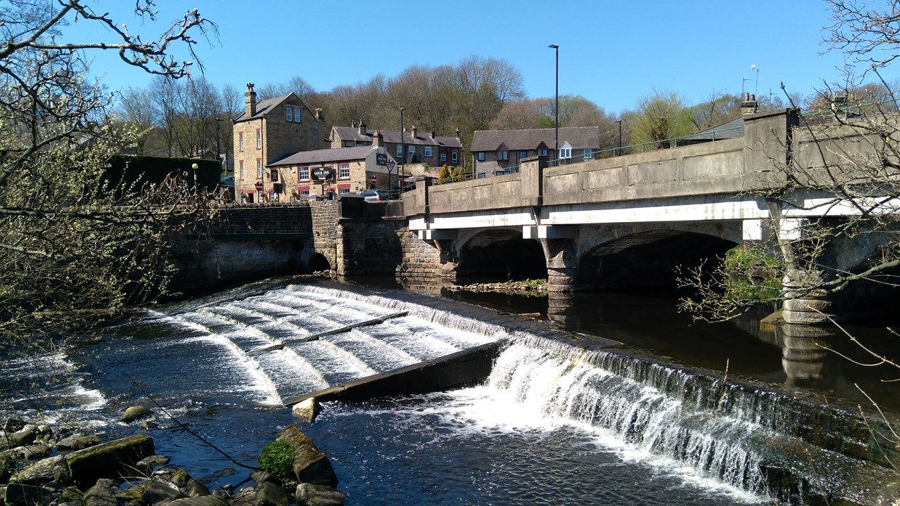
We will meet on the river bridge in Oughtibridge. The road name is Station Lane. It is just across the road from the Cock Inn.
There is plenty of on street parking in Oughtibridge. There are laybys on the one way sections of the A6102 (Low Road and Langsett Road South) and also on Station Road itself by Coronation Park. If these are full, then there are many side streets without parking restrictions (try Waterside Gardens).
By bus: Buses 57, 58, 765, 766, SL1 and SL1a serve Oughtibridge. Take care when checking the timetable as there may be a reduced service on public holidays.
Host & Everything Else
Gallery