Urban Ramble: Solihull Waterfront
Overview
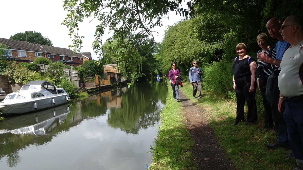
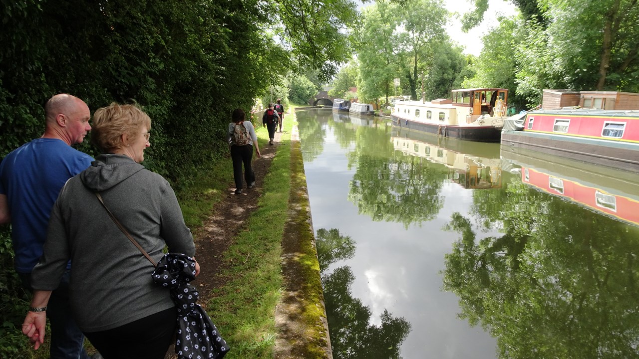
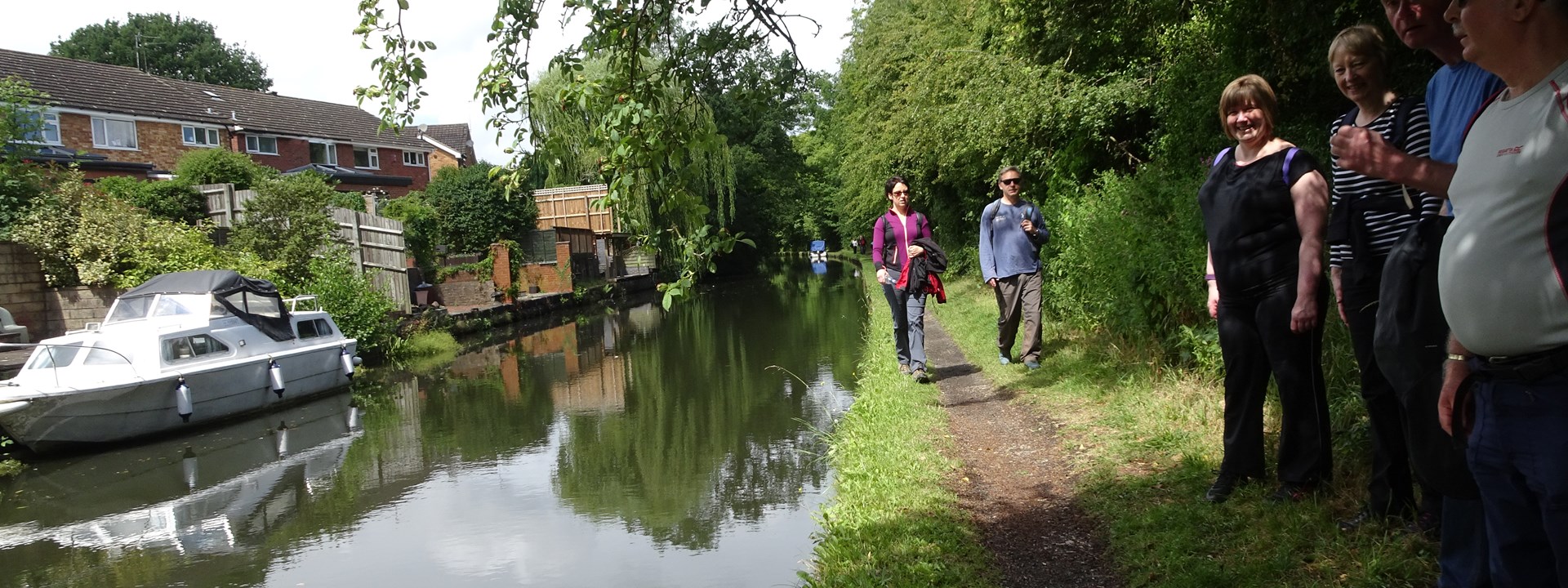
Another in our series of lovely walks through urban and hidden green spaces of the West Midlands using the Greenways Map. This time we have a circular walk from the centre of Solihull which uses roads with cycleways, canal towpaths and greenways to make a circuit of around 6 miles.
From the town centre, we meander through residential streets and cut throughs to reach the canal at Catherine De Barnes. From there we follow the Grand Union Canal towpath on its way to London and cross the River Blythe by the Blythe Aquaduct. A green space beside the motorway (noisy but nice!) sets us back on course to return to Solihull Town Centre through the lovely Malvern & Brueton Parks Nature Reserve.
The route is around 6 miles and is all flat, easy walking. The best place for a café stop will probably be in Brueton Park.
Location & Itinerary
Outside the front of Saint Alphege's Church which faces The George Hotel (Ramada) across New Road in Solihull Town Centre (B91 3RH). It’s close to the Touchwood and Mell Square shopping centres. There are lots of car parks (although I haven’t found any that are free!) and trains and busses. St Alpheges is the main parish church and has a tall spire which may help spot it from a distance!
Host & Everything Else
Gallery