Urban Ramble: Cannon Hill and Bournville Triangle
Overview
Another of our favourite “Urban Rambles” using the hidden green spaces of the Birmingham Greenways Map. It’s a triangular route which follows 3 waterways; Birmingham & Worcester Canal, River Rea and Bourn Brook.
It’s an easy and flat 6 - 7 miles made up of canal towpath, riverside parkland and some urban roads. It’s surprisingly green for much of the route.
The first couple of miles is all green, as we follow the River Rea the length of Cannon Hill Park that continues into other stretches of parkland all the way to Stirchley. We then turn north along the Birmingham – Worcester Canal passing Boonville and over two aqueducts before leaving the canal at Birmingham University for an urban section following Bourn Brook back to Cannon Hill Park and MAC (where we can finish at the café or bar as you wish). We expect to be back around 3.30pm.
It's another fascinating journey through Birmingham, so please join us!
Location & Itinerary
We meet in the car park outside the main entrance of the MAC before we set off heading South at 12.noon. Entrance off Edgbaston Cricket ground
There are various public transport options. For full driving, cycling and public transport details click HERE
Parking Note: A parking charge of approx. £2 - £3 is now in force at MAC.
Host & Everything Else
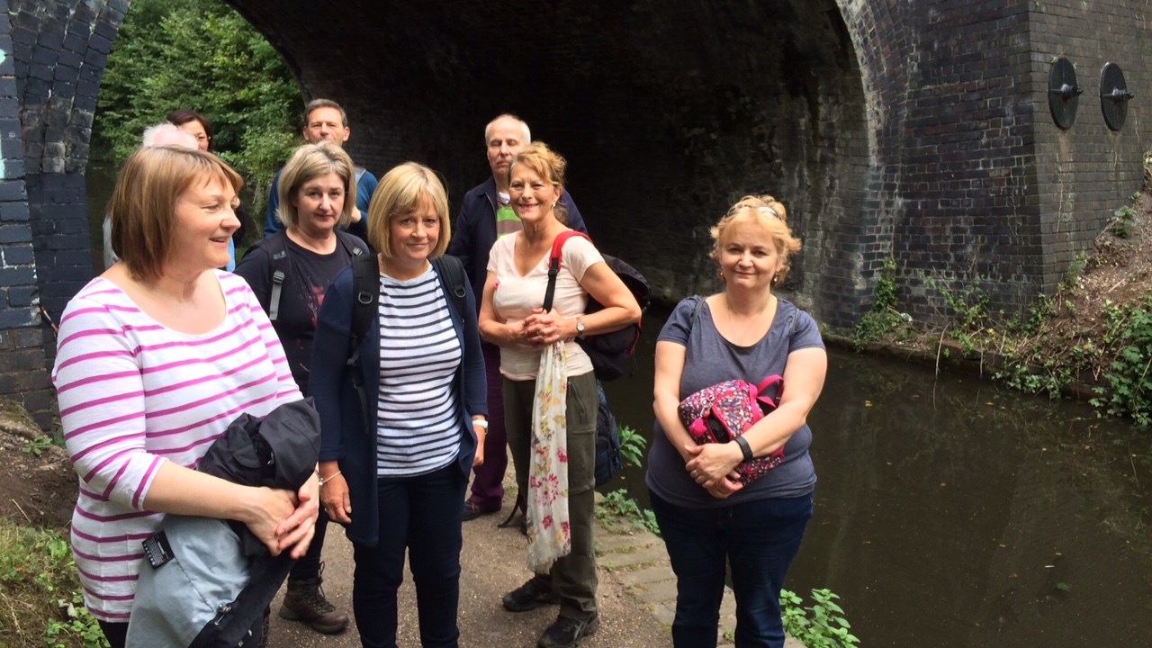
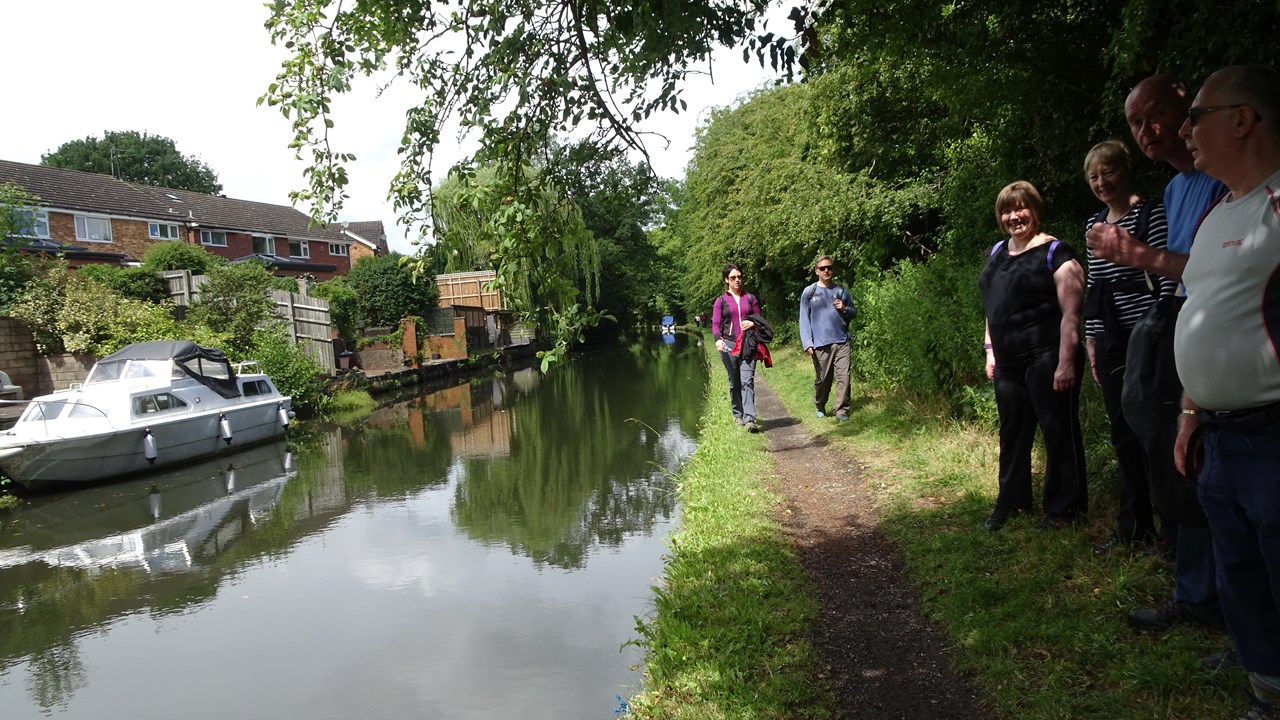
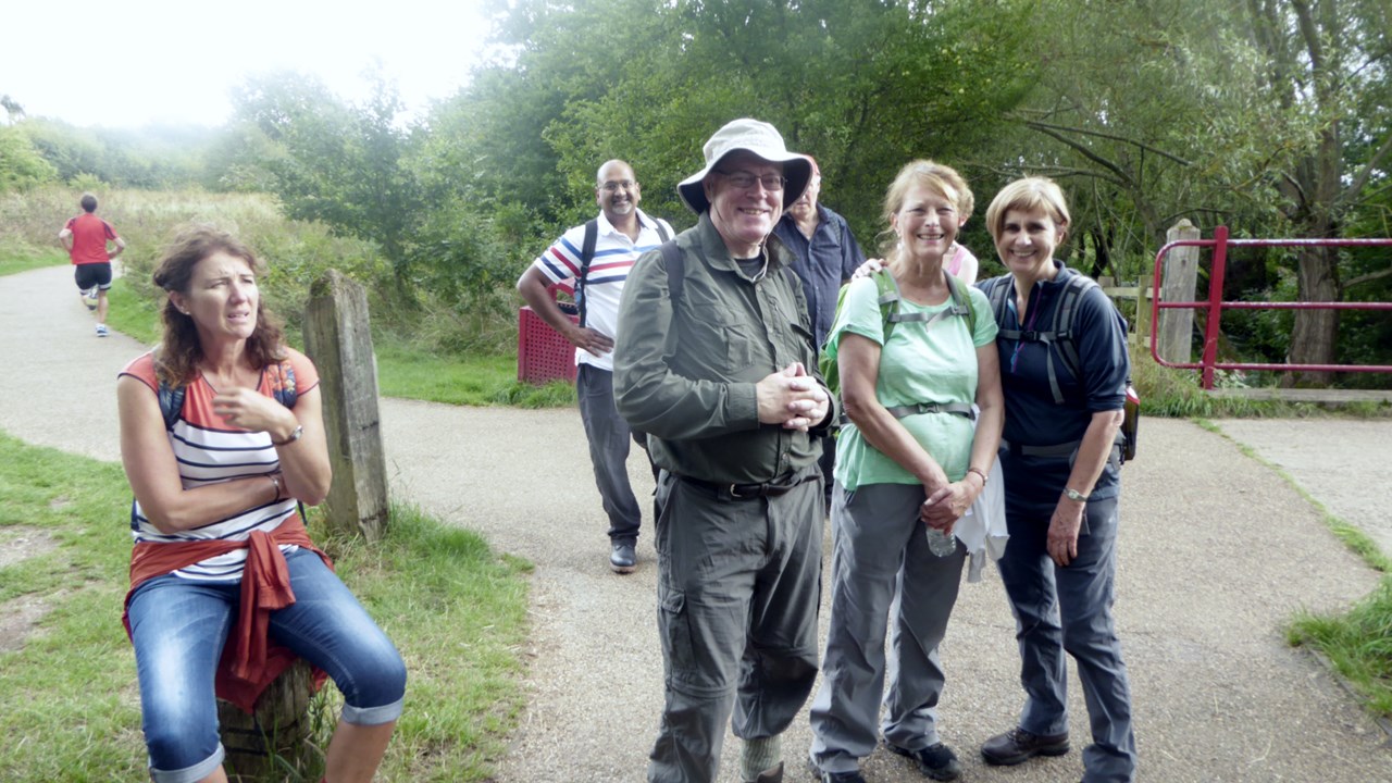
Gallery